Deep-water by design
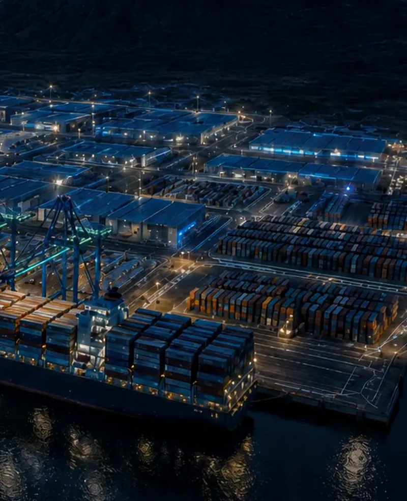
Deep water close to shore in a sheltered fjord, and a quay designed for 18–20 m: enough for the largest container ships afloat.
Hvalfjörður · Iceland
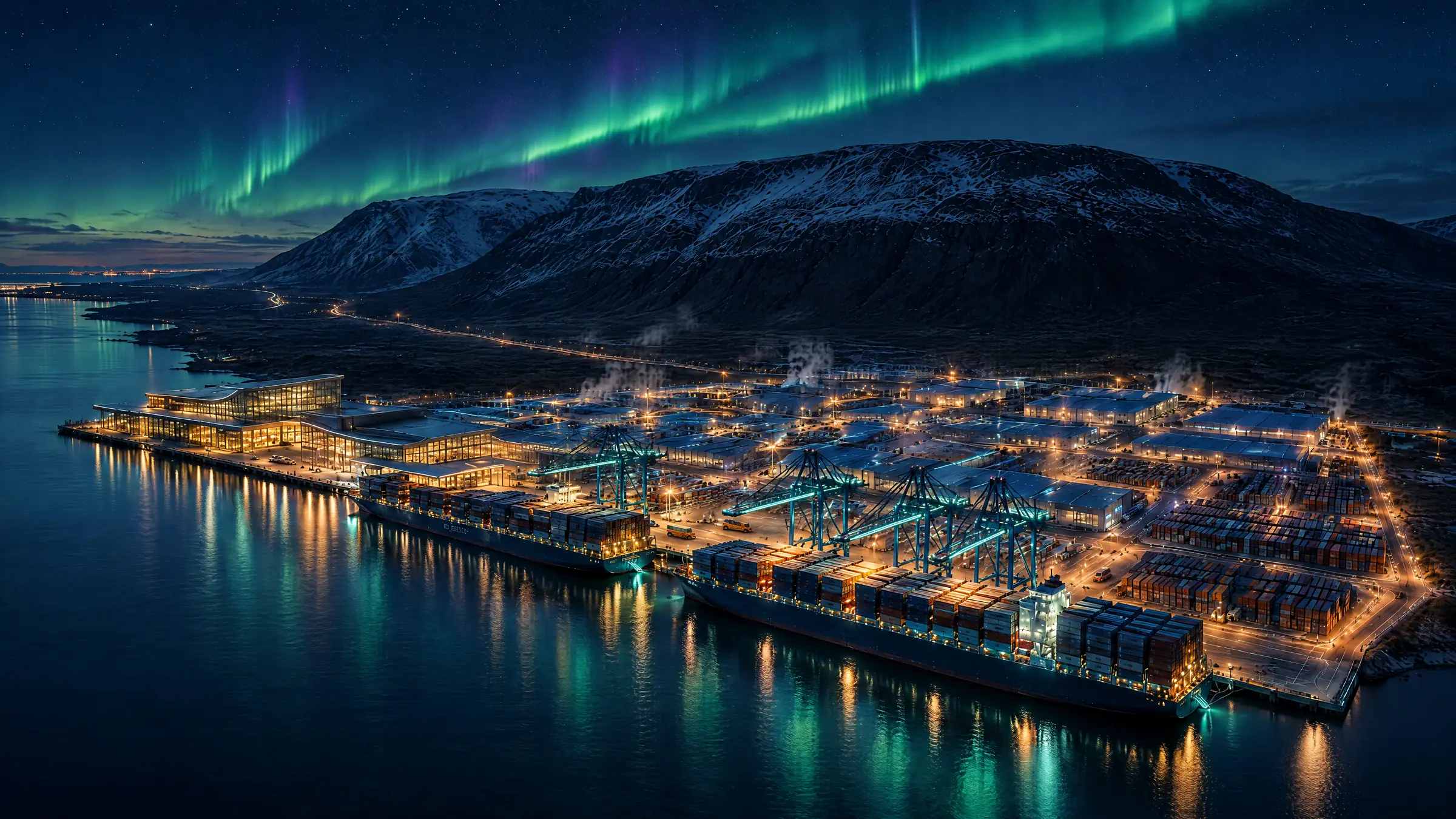
A planned deep-water port and green industrial park on Hvalfjörður, 40 km from Reykjavík. Up to 1,000 m of quay, designed for 18–20 m of water alongside: 4–6 m more than any quay in Iceland today. Room for the port and industry the capital no longer has space for.
The Project
GHharbour is a planned deep-water port and industrial area on Hvalfjörður, beside Grundartangi and 40 km from Reykjavík. The planning amendment proposes what the city can no longer offer: deep water and open land for port, logistics and industry.
Deep water close to shore in a sheltered fjord, and a quay designed for 18–20 m: enough for the largest container ships afloat.
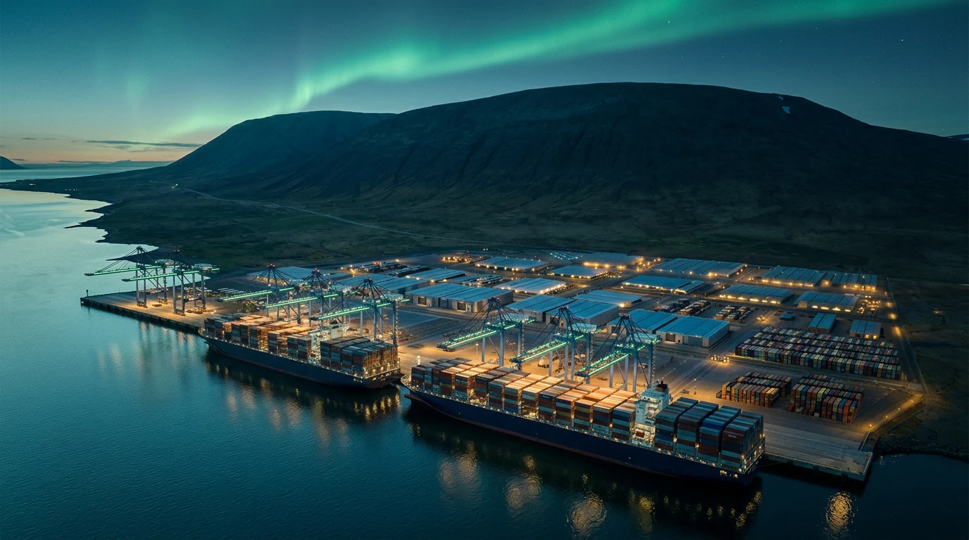
Up to 1,000 m of continuous berth for bulk, container, RoRo and the largest cruise ships, with shore power at every berth.
Land for clean industry beside Iceland’s largest industrial cluster, on Route 1 and 6.5 km from the 220 kV grid.
Why Now
The Reykjavík region is running out of port and industrial land just as demand grows. Housing and the planned Sundabraut are closing in on Sundahöfn, and businesses are already leaving the city. The amendment proposes deep water and room to grow at Galtarlækur.
The Problem
The Solution
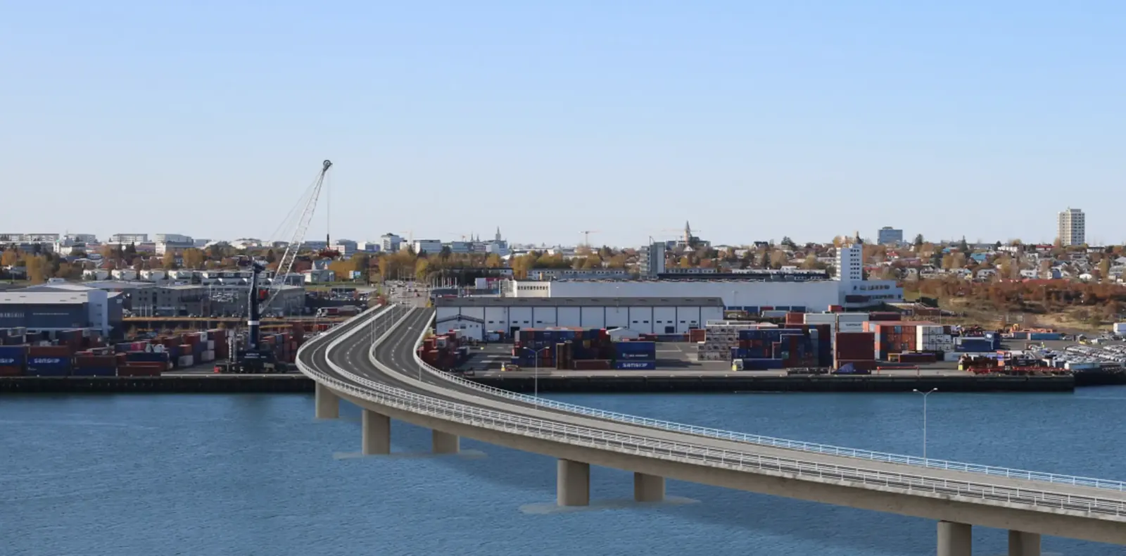
"Due to changed conditions, including densification in Reykjavík, there is significant demand for spacious operational areas near the capital region. Businesses have increasingly been moving operations outside the city."
The Arctic gateway
Arctic lanes can cut 6–11 days from Asia–Europe voyages. Where they reach the North Atlantic, small ice-class ships and large ocean ships need a deep quay to meet at. GHharbour is planned as one, 40 km from Reykjavík.
Drag to turn · click the globe, then scroll to zoom Swipe sideways to turn · pinch to zoom
Schematic great-circle lanes for illustration, not navigational charts. Actual voyages vary with ice, season and port calls.
The North Atlantic
The Greenland–Iceland–UK gap is the main sea passage between the Arctic and the Atlantic. A 22 September 2026 agreement provides for new US defence areas in Greenland, which would be supplied by sea.
Coastline, ice and towns: Natural Earth · relief and sea depth: Terrain Tiles on AWS · lanes and cables schematic
Recent developments
22 Sep 2026
The United States, Denmark and Greenland signed an agreement in New York that updates their 1951 defence agreement. It adds US defence areas at Narsarsuaq in the south and Mestersvig in the northeast, expands Pituffik, and requires approval for investors from outside NATO and the EU in sensitive sectors such as mining and critical infrastructure. The Danish and Greenlandic parliaments still have to approve it.
For Iceland it is likely to mean more construction, supply and ship traffic across the Denmark Strait. GHharbour is a deep-water port with room to grow and a road link to Reykjavík and Keflavík Airport, about 580 nautical miles from Mestersvig and 860 from Narsarsuaq.
Aug – Sep 2026
Allied anti-submarine, mine-clearance and rescue drills around Iceland, led by the Icelandic Coast Guard, marking 75 years of the 1951 defence agreement with the US.
Jul 2026
Iceland joined Germany, Canada, Norway and Denmark in a partnership for a shared maritime picture, subsea cable protection and security in the GIUK gap.
2026 → 2029
A new berth and 25,000 m³ fuel store in Reykjanesbær. Construction is expected to start in late 2026, with completion targeted for 2029.
Aug 2026
The first scheduled weekly service on the Northern Sea Route links Ningbo with northern Europe in about 20–22 days. Route cargo is forecast to pass 40 million tonnes in 2026.
Updated September 2026. Lanes, cables and the transit corridor are schematic; gap widths are shortest coast-to-coast distances.
Greenland
Greenland is entering its biggest build-out in decades: new US defence areas, EU- and US-backed mines, new airports and ports. Almost everything reported for those projects arrives by sea. The planning amendment proposes quay, land and renewable power at Galtarlækur.
Defence
Narsarsuaq · Mestersvig · Pituffik
The agreement signed on 22 September 2026 adds two new areas and expands Pituffik. Building and running them depends on materials, fuel and supplies brought in by sea.
Mining
South Greenland · near Qaqortoq
Critical Metals Corp. is building a pilot plant and facilities in Qaqortoq in 2026, with a US EXIM letter of interest for a US$120 million loan.
Mining
Northeast Greenland · 20 km from Mestersvig
A 30-year exploitation licence and EU backing, with offtake agreed with Outokumpu and Cogne. Planned to supply about a quarter of the EU’s molybdenum.
Mining
East Greenland · Kangerlussuaq fjord
Greenland Mines' palladium and gold project, with an expanded 2026 field programme. A June 2026 company release discusses downstream processing in Iceland.
Mining
South Greenland
Amaroq, listed in Iceland, is in production and guiding 25,000–35,000 ounces of gold for 2026.
Mining
South Greenland
GreenRoc holds a 30-year exploitation licence for one of the highest-grade graphite deposits in the West, with drilling in 2026.
Infrastructure
Nuuk · Qaqortoq
Qaqortoq Airport opened in April 2026 with flights to Iceland. The Danish–Greenlandic package for 2026–2029 funds a deep-water port in Qaqortoq.
Shipping
Royal Arctic Line · Eimskip
Since 2020 the two lines have shared vessels, with Reykjavík as the link to Europe and North America. The planning amendment proposes room outside the city for trade of that kind.
Uses described in the planning amendment
Sailing times at 12 knots on schematic routes. Project status as reported, September 2026. GHharbour has no agreements with the projects listed.
Location
On the north shore of Hvalfjörður, a long, sheltered fjord, directly west of Grundartangi. Reykjavík is 40 km away through the Hvalfjörður tunnel, and Akranes 15 km.
From the site
Coastline © Landmælingar Íslands (IS 50V) · elevation: Terrain Tiles on AWS · roads, towns and grid © OpenStreetMap contributors · sea lane and planned roads schematic
Underway
Route 1 upgrade with passing lanes, running right past Galtarlækur.
2028
Continues Sundabraut north to Vesturlandsvegur and the Hvalfjörður tunnel.
2030
A second tunnel bore doubles capacity and removes the bottleneck.
Target 2032
A new 11 km link from Sæbraut across Kleppsvík, via Gufunes, Geldinganes and Álfsnes, over Kollafjörður to Kjalarnes.
The published road plans aim to bring the drive from Reykjavík down toward 25-30 minutes and to raise freight capacity on the corridor.
Site Plan
The plan sets out 104.7 ha: 67.6 ha of industrial land in about 30 lots, and a 37.1 ha port area designed for the largest vessels. About 15 ha is held in reserve.
AF15 Industrial 67.6 ha
Port Zone 37.1 ha
Reserve for later use 15.3 ha
Port Services
A multi-purpose terminal planned for bulk, container, RoRo, cruise and project cargo.
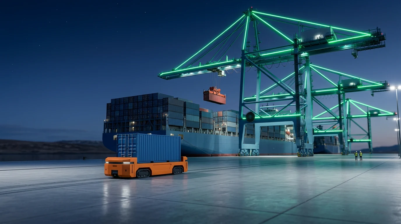
Ferrosilicon, cement, aggregate, fishmeal, grain, fertiliser, direct quay loading from on-site processing.
The plan describes on-site processing of high-grade material for shipment in Iceland and Europe.
Room for container traffic as Reykjavík densifies around Sundahöfn.
The plan describes the largest cruise ships, 5,000+ passengers, on shore power.
Vehicles, machinery and heavy equipment, with laydown area and direct ring-road access.
Wind-turbine components, industrial modules, oversized units, 1,000 m quay and 18 m build height.
Why depth matters
At the quay a ship needs its draft, the depth of its keel, plus about 10%. No quay in Iceland is deeper than about 14 m today; GHharbour is designed for 18–20 m, enough for the largest container ships afloat and most bulk carriers.
Choose a ship
Largest container ship
Design depth: fits fully ladenDesign depth: fits a reduced loadDeeper than GHharbour is planned for
0 of 13 existing Icelandic ports can take it fully laden
Deepest quay in each Icelandic port
Fully ladenReduced load or on the tideToo shallow
How ship design is changing
Container ships have almost doubled in width since the old Panama limit, while their draft has settled at about 16–16.5 m. That settled draft is now the standard every major port is built to, and it is deeper than any Icelandic quay.
The fleet that will sail in 2035
If the Middle East stays closed
In 2026 the Strait of Hormuz has been effectively closed since March, and the Houthis now hold Yemen’s whole Red Sea coast. Container lines are sailing round Africa instead. If the conflict deepens, more Asian cargo will look north. Arctic ships are small and ocean ships are big, so the two need a deep-water port to meet at. Galtarlækur lies close to the great-circle route between Northern Europe and North America, and GHharbour is designed for 18-20 m to take the ocean-going side of that exchange.
Required depth uses PIANC’s rule of thumb for a sheltered berth: about 1.1 × the draft. All depths are below chart datum (close to mean low water springs); in Faxaflói the tide adds up to about 4 m at high water. Icelandic figures are the deepest published berth in each port; figures marked ≈ come from secondary sources. GHharbour’s 18–20 m is a design target, to be confirmed by hydrographic survey. Distances are great-circle from Faxaflói. Scenario figures as of September 2026.
Sources: PIANC WG121 · MAN ES · Faxaflóahafnir · Fjarðabyggðarhafnir · Reykjaneshöfn · Hafnasamlag Norðurlands · Port of Rotterdam · Alphaliner/Splash247 · Splash247 · Mærsk Mc-Kinney Møller Center · Al Jazeera · Lloyd’s List Intelligence · Port Economics · gCaptain · OIES
Green by design
Planned as one loop: renewable power, geothermal heat and clean water flow in to tenants and ships, ships plug into shore power, and waste heat is designed to flow back into the network.
Schematic · not to scale
Project Status
Hvalfjarðarsveit adopted the revised municipal plan amendment on 29 September 2026 and has sent it to the national planning authority (HMS) for confirmation. The environmental impact assessment, surveys, detailed plan and permits follow.
15 Apr – 27 May 2026
Municipal plan amendment, approved for notice on 28 Jan 2026
29 Sep 2026
Hvalfjarðarsveit council; revised version sent for confirmation
Autumn 2026
With the national planning authority (HMS)
Next
Then surveys, detailed plan and permits
2027
Quay, infrastructure and utilities in the outline
2029
Early berths in the outline